

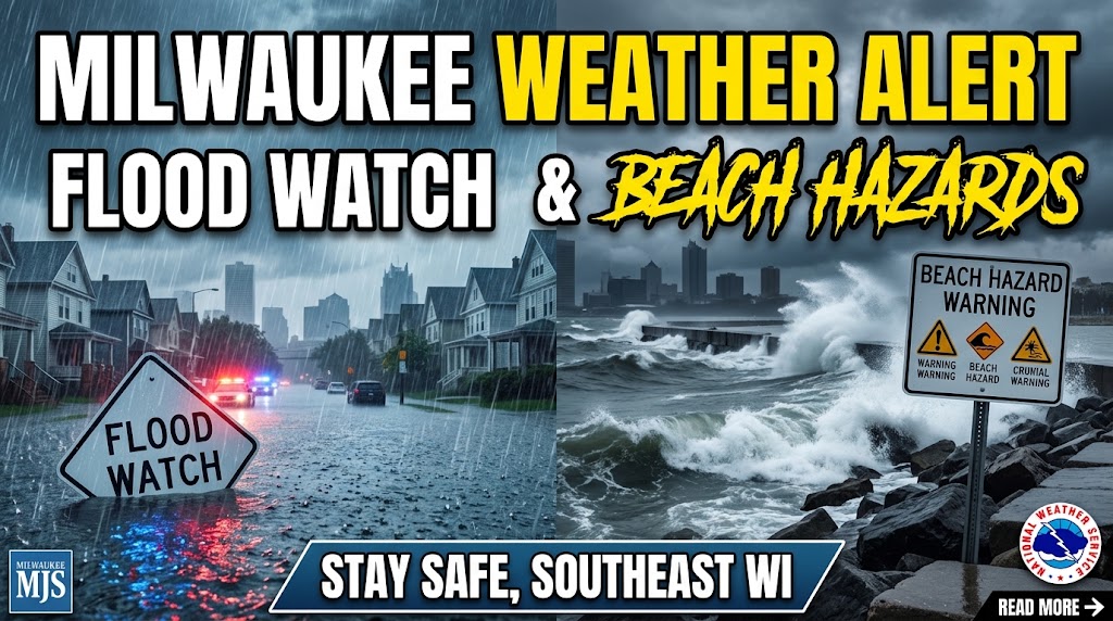
Persistent precipitation has transformed what initially felt like a cool, cozy autumn day into a severe weather alert across southeastern Wisconsin. The National Weather Service (NWS) has issued both a Flood Watch and a Beach Hazards Warning for the region, urging residents to exercise caution over the weekend.
Key Details & Timeline
- Flood Watch Duration: In effect through Sunday morning, September 20.
- Beach Hazards Warning: In effect through 7:00 PM on Tuesday, September 22.
- Rainfall Accumulation: The Milwaukee area recorded 1 to 3 inches of rain, with additional rainfall of 1/2 to 3/4 inch expected.
- Severe Lakefront Conditions: Wave heights are forecasted to reach 4 to 8 feet, building to 8 to 12 feet, along with dangerous rip currents.
Flood Risk & Driving Safety
NWS meteorologist Tim Halbach noted that heavy rain could lead to localized flooding on roadways and in low-lying areas. Drivers are advised to avoid travelling through flooded streets, as shallow water can stall engines and mask structural road hazards.

Safety Rule: “Turn around, don’t drown.” Never attempt to drive through standing water or flooded underpasses.
Dangerous Lakefront Hazards
The hazardous conditions extend beyond rainfall to Lake Michigan’s shorelines. Severe beach hazard warnings cover Sheboygan, Ozaukee, Milwaukee, Racine, and Kenosha counties.
- Life-threatening wave action (up to 12 feet) makes swimming and boating extremely dangerous.
- Strong currents and unpredictable waves present severe risks to anyone near breakwaters, piers, or shorelines.
What to Expect Next
Cloudy skies will persist with highs near 65°F and light winds between 5 to 10 mph. Scattered showers and potential thunderstorms remain likely. Residents across south-central and southeastern Wisconsin should monitor local weather updates and avoid unnecessary travel near flooded zones or lakefronts.